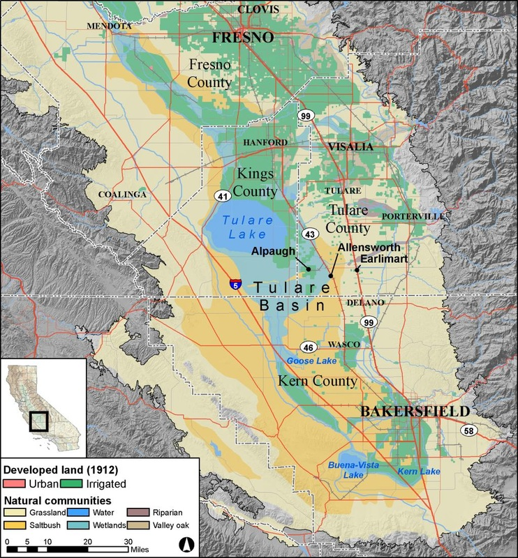
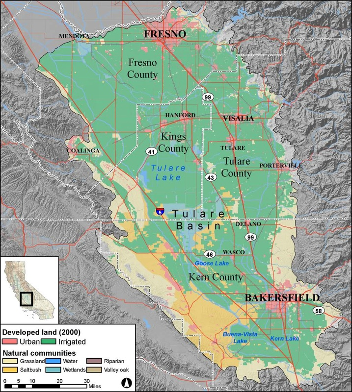
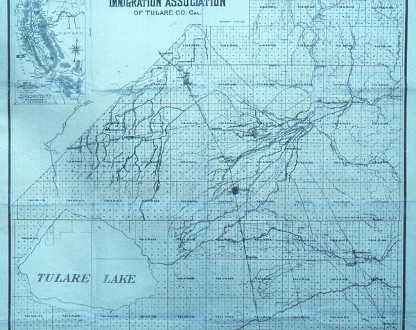
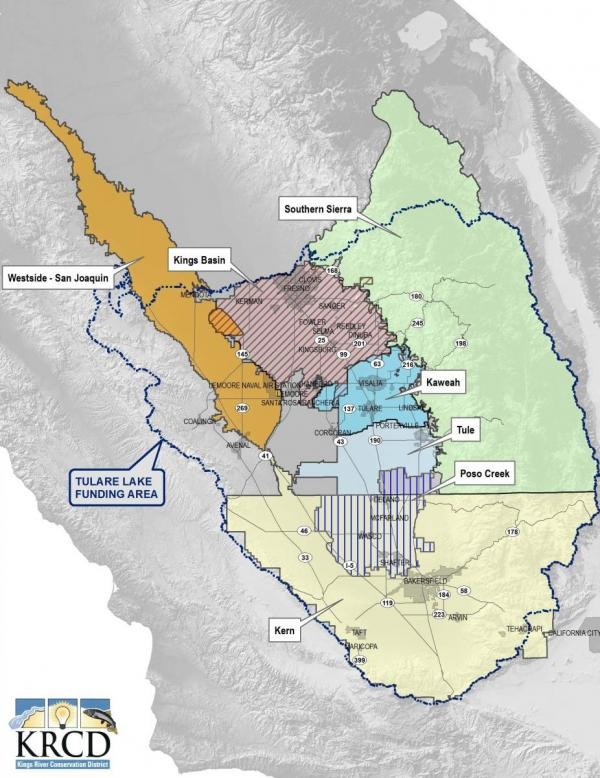
Maps

The Tulare Basin Wildlife Partners, as the fiscal agent of the Tulare Basin Watershed Initiative, is currently seeking grant and in-kind support of a large-scale project to provide a comprehensive, interactive mapping application to serve the Tulare Basin IRWMs and other Tulare Basin natural resources managers as they plan multi-benefit projects that improve watershed health and quality of life in the Tulare Basin. Please contact us if you have suggestions. 

Please check back for updates on this process. 

Tulare Basin Natural Communities & Developed Land, 1912 
Map of Tulare Basin, California, showing land types (urban, irrigated) and natural communities (grassland, wetlands, etc.).
Source: Scott Philips, Endangered Species Recovery Program
Tulare Basin Natural Communities & Developed Land, 2000 
Map of Tulare Basin, California, showing counties, cities, roads, lakes, and land types (urban, irrigated, grassland, etc.).
Source: Scott Philips, Endangered Species Recovery Program
Tulare Basin Disadvantaged Communities Map with Conservation Corridors 
A map showing regions in California with riparian, wildlife corridors, and disadvantaged communities highlighted in varying colors.
Source: California Water Institute and CSU Fresno.

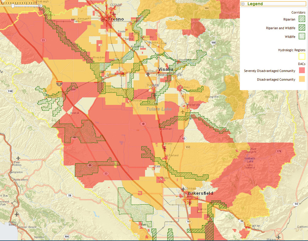
Link to online map: http://cwi.csufresno.edu/DACs/SJR_Tule_DAC_Crd.htm

Historic Tulare Lake 
Map of Tulare County, California, showing Tulare Lake, roads, and other geographical features.
Integrated Regional Water Management (IRWM) groups in the Tulare Basin 
Map of the Tulare Lake Funding Area with labeled regions: Kings Basin, Southern Sierra, Kaweah, Tule, Poso Creek, Westside, and Kern.
Source: Kings River Conservation District
San Joaquin Valley Greenprint Website 
San Joaquin Valley Greenprint logo with a California map highlighting the region.

The San Joaquin Valley Greenprint is a voluntary, stakeholder-driven project that provides agricultural, water, and environmental leaders with improved planning data and fosters regional collaboration on strategies that prioritize resource sustainability while enhancing economic prosperity. It focuses on the challenges and opportunities in non-urban land use planning, and how those rural decisions shape the region’s economy and environment.
The SJV Greenprint provides the following:

  1. ​Map Database
  2. Regional Planning Forums
  3. Conservation Vision

​Visit: http://sjvgreenprint.ice.ucdavis.edu/